


 Cincinnati City Council has approved the downzoning of ten areas in Hyde Park and Mount Lookout, the result of both neighborhoods' desire to preserve their current density and character.
The rezoning changes minimum lot sizes to from 6,000 square feet to 10,000 square feet (0.23 acres) or from 10,000 square feet to 20,000 square feet (0.46 acres) – or to classifications SF-10 or SF-20 single-family district, respectively. Both SF-10 and SF-20 require a minimum 30-foot front yard setback, and SF-20, the most restrictive zoning classification, mandates a minimum lot width of 70 feet.
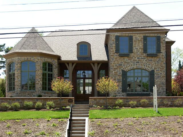
Such a move is believed to keep developers from subdividing large residential lots into build multiple properties, such as recent single-family developments at 2573 Observatory Avenue and 1228 Tannehill Lane.
 Areas downzoned include (see map):
- From SF-6 to SF-10: Properties in the vicinities of Madison Road and East Hill Avenue; Observatory and Mooney avenues; Observatory, Meier and Grace avenues ; Perkins Lane and Westside Avenue; and Paxton and Ziegle avenues
- From SF-6 and RM-1.2 to SF-10: Properties in the vicinity of Madison Road and Dana Avenue
- From SF-6 and SF-10 to SF-20: Properties in the vicinity of Edwards Road and Rookwood Lane
- From SF-10 to SF-20: Properties in the vicinities of Madison and Grandin roads, Paxton and Erie avenues, and Pineridge Avenue and Leaftree Court.
Previous reading on BC:
Controversial SFDs now for sale (5/21/09)
Hyde Park approves downzoning, setbacks plan (4/29/09)
Hyde Park downzoning to be considered Thursday (3/23/09)
Downzoning in the hands of Hyde Park, Mount Lookout residents (1/15/09)